Vertical and Indoor 9-1-1 Location Mapping
Today more and more people rely on mobile phones as their primary phone service and are disconnecting wireline service altogether. As a result, more 9-1-1 calls are being placed from mobile phones than ever before, including from inside buildings where E9-1-1 mobile phone location technology does not work very well. Thanks to new FCC rules on this topic, wireless carriers and major industry technology players are now working to quickly address this issue.
NG9-1-1 data standards already support indoor location in the form of sub address elements for street addresses, such as floor and room number. Indoor locations can also be expressed as coordinates (latitude, longitude, and elevation). New location technology solutions are emerging that will make calculation of indoor positions for mobile phones during a 9-1-1 call possible.
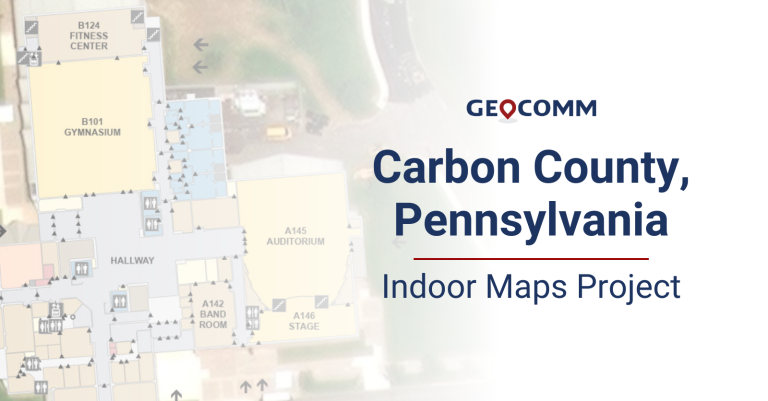
As a result 3D and indoor location is coming to 9-1-1. But much work needs to be done in order to meet the objective of reducing emergency response times by leveraging indoor location. In particular, indoor map data and new PSAP mapping and emergency responder applications are needed to provide valuable spatial context around a 9-1-1 caller location.
GeoComm is at the forefront of indoor mapping for 9-1-1, and is working with industry, standards bodies, technology vendors, and 9-1-1 authorities alike to innovate this “next” next generation of 9-1-1, to make indoor location for 9-1-1 a reality.


