Denco 9-1-1 Brings Indoor Maps to Schools, Providing 9-1-1 Actionable Location Information
Denco Area 9-1-1 District (Denco 9-1-1), providing 9-1-1 services to nearly 800,000 people in 33 jurisdictions throughout North Texas, recently worked with GeoComm to bring indoor maps to 86 K-12 public schools throughout the region.
This project addressed the challenges of locating 9-1-1 callers indoors by utilizing GeoComm Indoor Maps and Denco 9-1-1’s GIS data to extend Emergency Communications Centers (ECCs) mapping capabilities. By addressing the challenges and establishing an indoor mapping program, Denco 9-1-1 empowered themselves with a visual representation of indoor spaces providing 9-1-1 actionable location information for improved emergency response situational awareness.
With the addition of indoor maps for their area public schools, Denco 9-1-1 telecommunicators are now able to clearly tell where 9-1-1 calls inside school buildings are coming from. The consumable location information includes specifics such as room number, common area locations, clearly-defined exterior entrances, interior door locations, security cameras, and more.
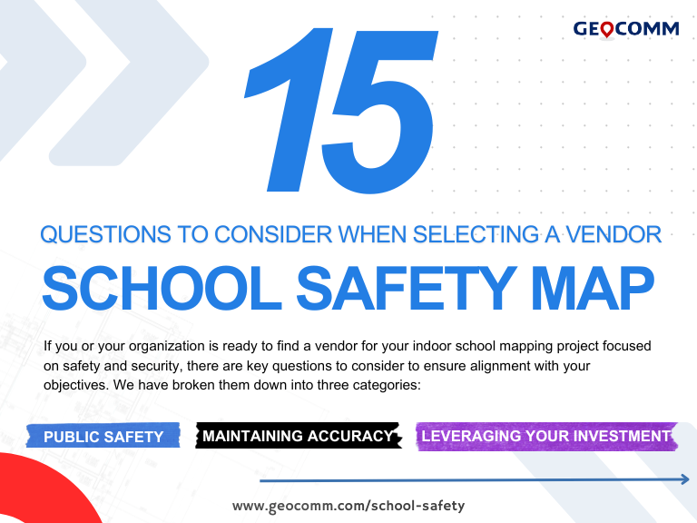
Denco 9-1-1 continues to add public school buildings to their indoor mapping program and has worked with GeoComm to develop a case study that overviews their project and the value indoor maps provides to 9-1-1, emergency response, and schools in their region. CLICK HERE TO READ CASE STUDY and find more details on bringing this valuable location information to schools in your jurisdiction.
“As location accuracy improves, the ECCs in the district will receive location information identifying not only the building from where the 9-1-1 call originates, but more precise location information within the building. The addition of indoor maps integrated with our 9-1-1 software supports emergency personnel identification of specific room locations of 9-1-1 callers,” said Greg Ballentine, Executive Director, Denco Area 9-1-1 District.
About GeoComm
GeoComm, leading provider of Public Safety Location Intelligence®, has a national reputation as a leading provider of public safety GIS systems. These systems route emergency calls to the appropriate 9-1-1 call center, map the caller’s location on a call taker or dispatcher map, and guide emergency responders to the scene of the accident on mobile displays within police, fire, and ambulance vehicles. Over the last 26 years, GeoComm has grown to serve local, regional, statewide, and military agencies in forty-nine states, helping keep more than 100 million people safe. In addition, in 2021 our statewide NG9-1-1 GIS project footprint has expanded to include seventeen statewide projects across the country. To learn more about GeoComm and our Public Safety Location Intelligence offerings visit www.geocomm.com.


