Home > GIS Insights > 2021 GIS Day
FacebookLinkedInXPinterestEmail
Dark Mode

2021 GIS Day

Today, in honor of 2021 GIS Day, we want to share some interesting facts about our team of dedicated GIS professionals. We appreciate our team working their hardest each day utilizing GIS technology and their GIS expertise to help our customers and thank all of the GIS professionals out there who use the power of GIS to improve lives.
November 17, 2021

GIS Resources

Team Spotlight

GeoComm's team of industry experts are dedicated to helping public safety agencies across the United States utilize this important and valuable piece of Public Safety Location Intelligence® to enhance their emergency response situational awareness. Meet GeoComm’s team of indoor location experts.

Iowa Critical Incident Mapping (CIM) Project

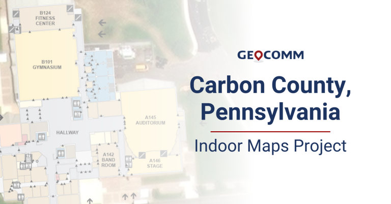
GeoComm School Safety is delivering the Iowa critical incident mapping (CIM) solution for planning and responding to emergencies inside schools by providing detailed indoor maps of schools and surrounding grounds.

Life-Saving Z-Axis Data in the Emergency Communication Center

When a 9-1-1 call is placed, the caller’s location is a primary piece of information that dispatchers need to deploy emergency response personnel. Where is the caller located? What do their surroundings look like? Could something about that location be an obstacle or even hazardous to first responders?