Geographic Information Systems Insights
GeoComm Welcomes New Chief Product and Technology Officer
GeoComm, a trusted leader in GIS-based indoor and outdoor map data management solutions, is proud to announce the appointment of Daniel Stonecipher as its new Chief Product and Technology Officer (CPTO) and key member of the executive leadership team.
ZeroEyes and GeoComm Partner to Enhance Iowa School Safety with Advanced AI Gun Detection and Intelligent Mapping
ZeroEyes, the creators of the only AI-based gun detection video analytics platform that holds the US Department of Homeland Security Safety Act Designation, and GeoComm, the provider of locally authoritative indoor and outdoor Geographic Information Systems (GIS), today announced a technology integration partnership to enhance emergency response and school safety. This collaboration merges ZeroEyes' AI gun detection and situational awareness software with GeoComm's comprehensive indoor mapping solutions to provide real-time, actionable intelligence to any Iowa K-12 schools.
Unlocking the Power of Map Data Manager: Enhancing School Safety & Indoor Safety
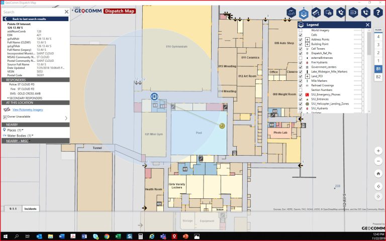
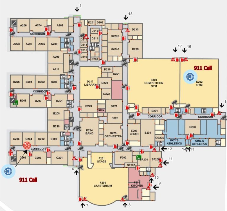
An indoor map delivers the next level of precise location information via a highly organized visualization of all the essential elements in a building. Bringing your building to life with a detailed map and into the hands of those who need it is a critical first step to unlocking seamless navigation and enhanced accessibility!
Innovation Spotlight~ Automated External Defibrillator Location Display Experience
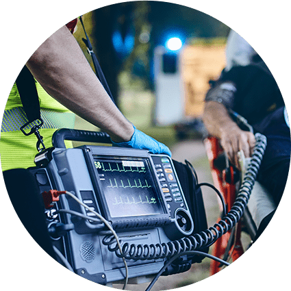
GeoComm partnered with Stearns County, Minnesota, and a local non-profit in 2019 on an initiative aimed at mapping the location information for Automatic Emergency Defibrillators (AEDs) in Stearns County. The goal of the project was to empower 9-1-1 PSAPs with AED location information so PSAP call takers could inform 9-1-1 callers of nearby AED locations....
Understanding The Urgency For Indoor Maps
Today, most people expect that 9-1-1 call centers can pinpoint their exact location during emergency calls, even inside of buildings. But you do not have to look far to find high profile cases where challenges locating 9-1-1 callers indoors have contributed to increased emergency response times, and even tragic outcomes.
Indoor Mapping: Why do I need it?
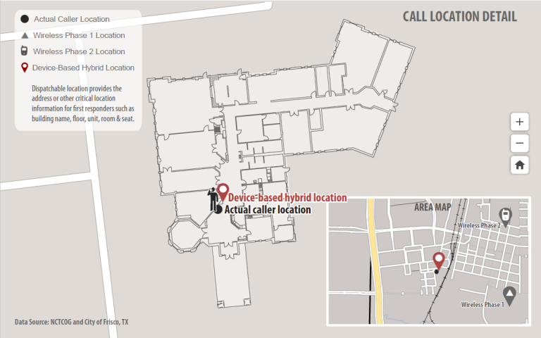
By now you have probably heard the statistic that today approximately 80 percent of all 9-1-1 calls originate from mobile phones. More and more people are forgoing wireline telephone service and are relying on mobile phone service exclusively. Indoor maps are needed to fully unlock the life-saving potential of indoor geodetic positions of mobile phones during 9-1-1 calls that the industry has worked so hard for to create.
2019 Texas DIR Contract and Pricing
GeoComm, a leading provider of geographic information and communication systems, has been awarded a Texas Department of Information Resources (DIR) contract DIR-TSO-3441 for GeoComm’s public safety software.
Innovation Spotlight ~ Smarter Security Provided Through Indoor Maps and Sensor Feeds
In 2017, GeoComm worked with U.S. Bank Stadium and the Minneapolis Police Department to deploy and innovative new software to be used in the ESPN XGames that provided real-time information and sensor feeds into a Common Operating Picture (COP) built around 3D and indoor maps. The system was again used in 2017 during the Twin...
Vertical and Indoor 9-1-1 Location Mapping
Today more and more people rely on mobile phones as their primary phone service and are disconnecting wireline service altogether. As a result, more 9-1-1 calls are being placed from mobile phones than ever before, including from inside buildings where E9-1-1 mobile phone location technology does not work very well. Thanks to new FCC rules on this topic, wireless carriers and major industry technology players are now working to quickly address this issue.


