Geographic Information Systems Insights
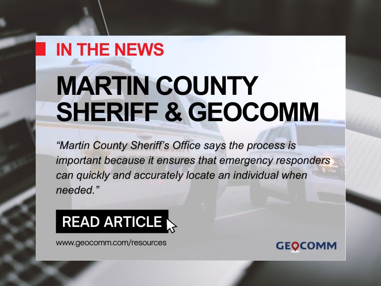
Martin County Sheriff’s Office Launches Project to Enhance 9-1-1 Services
MARTIN COUNTY, Fla. (CBS12) — A project is underway to improve 911 emergency response services in Martin County. The Martin County Sheriff’s Office (MCSO) says that from Wednesday to February 3, deputies, including field technicians from the firm GeoComm, will visit certain Martin County homes to confirm addresses and street names. A map provided by...

ZeroEyes and GeoComm Partner to Enhance Iowa School Safety with Advanced AI Gun Detection and Intelligent Mapping
ZeroEyes, the creators of the only AI-based gun detection video analytics platform that holds the US Department of Homeland Security Safety Act Designation, and GeoComm, the provider of locally authoritative indoor and outdoor Geographic Information Systems (GIS), today announced a technology integration partnership to enhance emergency response and school safety. This collaboration merges ZeroEyes' AI gun detection and situational awareness software with GeoComm's comprehensive indoor mapping solutions to provide real-time, actionable intelligence to any Iowa K-12 schools.

Unlocking the Power of Map Data Manager: Enhancing School Safety & Indoor Safety
An indoor map delivers the next level of precise location information via a highly organized visualization of all the essential elements in a building. Bringing your building to life with a detailed map and into the hands of those who need it is a critical first step to unlocking seamless navigation and enhanced accessibility!
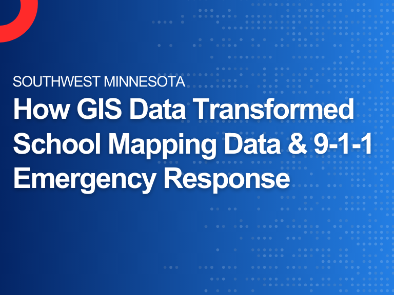
Southwest Minnesota: Digital Geographic Information System Mapping & 9-1-1 Emergency Response
Overview In 2023, the Southwest Minnesota Emergency Communications Board (SWECB) partnered with GeoComm to launch an indoor mapping pilot project. This digital geographic information system mapping initiative transformed critical infrastructure buildings into GIS-powered indoor maps, providing first responders with precise, real-time location intelligence and the school mapping data needed to ensure effective emergency response. The...

FCC NG9-1-1 Order: Progress, Challenges & What’s Next for Public Safety GIS
Where Are We Now in the NG9-1-1 Transition? On March 25, 2025, the Federal Communications Commission (FCC) issued a Public Notice announcing final approval by the U.S. Office of Management and Budget (OMB) of the FCC’s July 2024 Report and Order advancing the transition to Next Generation 9-1-1 (NG9-1-1). While this is a definite step...

NSGIC 3DEP FTN Interest Group Meeting
March 25, 2025 GeoComm Vertical Location Services: Enhancing Emergency Response with 3D Elevation Data When every second counts, knowing where an emergency caller is located—including their vertical position—is critical for first responders. GeoComm’s Vertical Location Services leverage digital elevation models to provide precise altitude data, helping emergency teams determine the correct floor, underground level, or...

Digital Mapping: Transforming the Way We Navigate and Analyze Geographic Data
Introduction Digital mapping has revolutionized the way we visualize, analyze, and interact with geographic data. Unlike traditional paper maps, digital maps are dynamic, interactive, and easily updated, enabling users to integrate multiple data layers for better decision-making. A subset of this mapping, GIS (Geographic Information System) mapping, uses specialized software to analyze and interpret spatial...
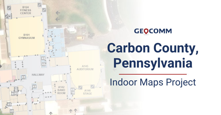
Carbon County 9-1-1 Indoor Maps Project
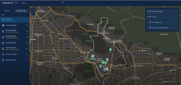
The Carbon County Pennsylvania Communications Center recently partnered with GeoComm to create GIS-based indoor maps for buildings throughout their county. These indoor maps would be valuable and vital pieces of information for their dispatchers and first responders to aid in improving situational awareness and decreasing response times. Carbon County Communications Center dispatchers access their indoor maps in RapidSOS Portal, provided by GeoComm partner RapidSOS.

Life-Saving Z-Axis Data in the Emergency Communication Center
When a 9-1-1 call is placed, the caller’s location is a primary piece of information that dispatchers need to deploy emergency response personnel. Where is the caller located? What do their surroundings look like? Could something about that location be an obstacle or even hazardous to first responders?
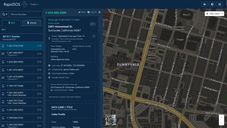
Z-Axis Location Information – The Next Frontier of Public Safety Location Intelligence®
What is z-axis and how does it improve in public safety emergency response? Many Emergency Communications Centers (ECCs) have started to notice that raw z-axis information is now available to them, but what should be done with that information and how can it be made actionable?

Customer Profile: North Platte, Nebraska
The North Platte, Nebraska Police Department serves as the Emergency Communications Center (ECC) for Lincoln County and the City of Gothenburg in Dawson County, serving a population of over 38,000 people and receiving over 15,000 9-1-1 calls each year.
The Value of Locally Authoritative GIS Data in RapidSOS Premium
What is locally authoritative GIS data and why is it valuable in public safety emergency response? This is a question many people have and one Deb Rozeboom, GeoComm’s Product Manager for GIS Services, had the opportunity to present on this fall at the RapidSOS Ready22 Conference. Deb also overviewed GeoComm’s partnership with RapidSOS to support the locally authoritative GIS data being utilized by RapidSOS Premium customers.