The Value of Locally Authoritative GIS Data in RapidSOS Premium
What is locally authoritative GIS data and why is it valuable in public safety emergency response?
This is a question many people have and one Deb Rozeboom, GeoComm’s Product Manager for GIS Services, had the opportunity to present on this fall at the RapidSOS Ready22 Conference. Deb also overviewed GeoComm’s partnership with RapidSOS to support the locally authoritative GIS data being utilized by RapidSOS Premium customers.
GeoComm knows that every second counts in public safety emergency response. Accurate GIS data plays a key role in ensuring the end users have actional location intelligence and can have a tremendous impact on improving response times. Locally authoritative Public Safety Grade GIS data is the most comprehensive and up to date map data available for utilization in public safety emergency response.
The most accurate and current GIS data is built using local source data from addressing authorities and GIS data providers. Things such as new roads and recent housing developments are critical data used for validating accurate emergency locations. Additionally, locally important landmarks such as coastal beach mile markers, recreational paths, and hiking trails provide points of interest a caller can reference if they are not close to a road or structure. This data enriches the map with current local information as opposed to open source or commercial datasets which can sometimes be months to years behind in adding new locations or correcting inaccuracies. Having current, locally authoritative GIS data in the map means faster and more accurate location validation and helps reduce response times.
Why RapidSOS Premium?
RapidSOS Premium is an unified mapping solution that helps ECCs streamline workflows and provide enhanced situational awareness during emergency incidents. Utilizing locally authoritative Public Safety Grade GIS data, RapidSOS Premium empowers Emergency Communications Centers (ECCs) with the most current and accurate map data — consolidated into a single display. Built for public safety, with public safety, RapidSOS Premium eases the stress of compiling all incoming data, for every incident in a jurisdiction, in one location.
What if I don’t have highly accurate local GIS data?
We know there are some agencies that either don’t know the current state of their GIS data or know that their GIS data is not at its highest level of accuracy. As part of RapidSOS Premium customer onboarding, GeoComm will complete a GIS data assessment of each agency’s GIS data to understand its current readiness to be utilized in the mapping application.
The assessment will indicate if there is work to be done on the GIS data, and results will be delivered by a Public Safety GIS subject matter expert who will answer any questions and recommend the best strategy for data improvements. If more help is needed to make the data improvements, we have a wide variety of software and services available to help you achieve this high level of accuracy. No matter how accurate your GIS data is, we are here to help you.
How do I get started?
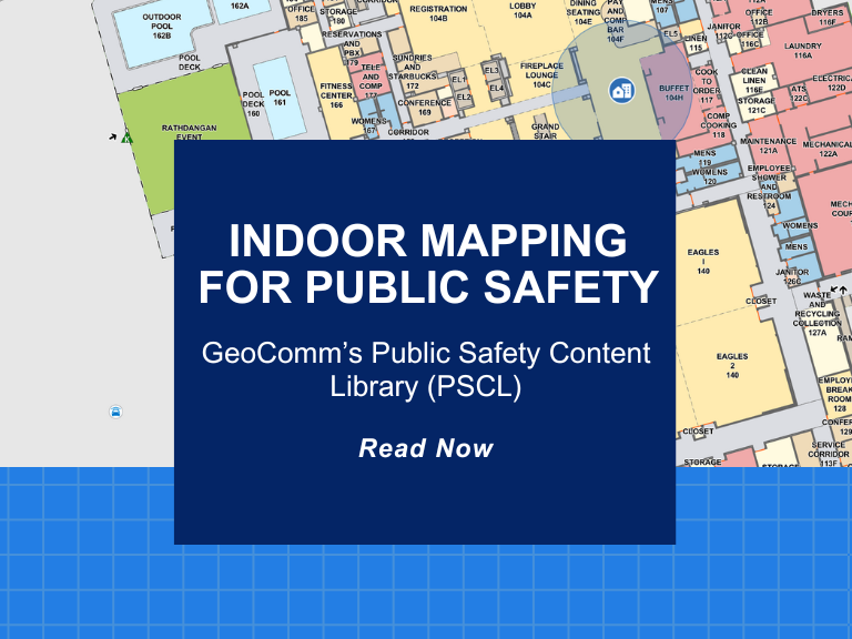
Looking to learn more about how 9-1-1 can leverage RapidSOS Premium and locally authoritative GIS data to access one unified map solution for ECC operations? Register for the upcoming webinar The Importance of Z-axis and Indoor Mapping Data for Keeping Schools Safe with RapidSOS and GeoComm. During this session on 2/9/23, we’ll walk through the latest mapping technology available through RapidSOS premium and how it is transforming emergency fire response.


