GeoComm Perspective: Understanding the Urgency for Indoor Maps
The majority of 9-1-1 calls are from wireless devices with some areas reporting as high as 90 percent wireless 9-1-1 call volume. Further, many of the 9-1-1 calls are placed indoors since mobile phones are so easily accessible. Location accuracy becomes a challenge indoors since it can be difficult for a telecommunicator to pinpoint the exact location of the caller’s device.
The 9-1-1 industry is at a unique point in time:
Next Generation 9-1-1 deployments are underway;
FCC requirements for Z-axis are shaping the way actionable location information is provided to 9-1-1;
Tremendous increase in the amount of disparate data; and
Technology advancements allow 9-1-1 caller location, X,Y,Z to now be delivered to the PSAP. In order to make this information actionable, indoor maps are needed.
Today, most people expect that 9-1-1 call centers can pinpoint their exact location during emergency calls, even inside of buildings. Unfortunately, you do not have to look far to find high profile cases where challenges locating 9-1-1 callers indoors have contributed to increased emergency response times, and even tragic outcomes.
While new regulations, standards, and technologies are emerging that can provide position measurements for wireless 9-1-1 callers indoors, all too often this information is not actionable, and provides little more than a blue dot on an otherwise blank whiteboard for emergency responders. The advancements in indoor positioning for 9-1-1 create an opportunity to reduce emergency response times inside large and complex indoor environments, but this opportunity will go unrealized without details and context about indoor spaces that can be combined with raw positioning measurements. As a result, there is an urgent need for indoor maps for 9-1-1 and public safety emergency responders.
The Federal Communications Commission (FCC) has made locating 9-1-1 callers indoors a priority by enacting new rules that require wireless carriers to calculate indoor positions, including in three dimensions, for 9-1-1 calls from mobiles phones.
While the FCC rules provide 9-1-1 positioning requirements for wireless carriers, providing local GIS mapping requirements is out of scope. The original FCC ruling notes that 9-1-1 call centers will need to implement technology such as 9-1-1 mapping applications that can make the new caller position information actionable.
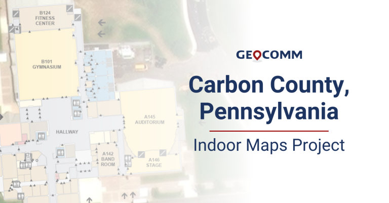
Indoor details and context information can bring benefit to public safety professionals responsible for protecting life and property during emergencies. As an example, the following video depicts an indoor caller location with and without indoor maps.


