Intrado and GeoComm Partner to Enhance Safety in Schools and Enterprise Buildings
LONGMONT, Colo., Aug. 05, 2024 (GLOBE NEWSWIRE) — Intrado Life & Safety, a global leader in public safety solutions, today announced a partnership with GeoComm, a leading provider of Geographical Information Systems (GIS) data. This partnership aims to enhance data available via Intrado’s Spatial Insight product by integrating interior GIS data from critical buildings, including schools, airports, courts, and hospitals, thereby improving emergency response capabilities.
“The call centers that support our first responders may have the address of a building such as a school or hospital that is experiencing an emergency, but just the address alone is not enough to locate someone in need inside the building. Our partnership with GeoComm and the extensions it enables to our Spatial Insight offering help provide public safety call takers the detailed information they need in order to get help to the right people in the right places at the right time. Room-specific location significantly reduces response times, ensuring first responders reach the right room and improve outcomes,” said Jaz Lin, Head of Product at Intrado.
“It is critical to enable interoperability within public safety and school safety solutions to increase access to critical information. In this case the indoor GIS maps provide increased situational awareness for 911 emergency response,” said Jeff Liebl, GeoComm President & CEO. “This partnership represents our commitment to supporting community safety to save lives and protect property when seconds matter.”
GeoComm’s indoor maps and other useful sources of supplemental emergency information, including automotive telematics and supplementary data supplied from mobile devices including mobile phones are available to Public Safety Answering Points (PSAPs) for free with Intrado’s Spatial Insight. With Intrado and third-party integrations as well as stand-alone modes, Spatial Insight enables field teams with the best possible detailed information about the emergency at hand. Interested PSAPs are encouraged to claim their free account at https://go.intrado.com/spatial-insight.
Intrado Spatial Insight will be on display at the 2024 APCO International’s Annual Conference & Expo on August 5 & 6 in Orlando, Florida.
About GeoComm
For nearly 30 years, GeoComm has been a trusted leader in providing high-quality Geographic Information Systems (GIS) that integrate seamlessly into 9-1-1 and public safety systems. Our dedicated team partners with state, regional, and local 9-1-1 agencies, as well as the military, to help protect 100 million people nationwide. This includes delivering critical GIS elements for Next Generation 9-1-1 systems in 23 states. More recently, GeoComm has expanded high- quality GIS to map the interior of critical buildings where community members spend most of their time, – particularly schools. GeoComm is committed to being a part of a complete school safety solution with indoor GIS as a vital element in planning, response, and mitigation efforts. Visit www.geocomm.com to learn more or contact us by emailing geocomm@geocomm.com
About Intrado
Intrado is a global leader in public safety, providing software systems and services to the public safety community worldwide. With over forty years of experience in enabling emergency communications, Intrado delivers market-leading solutions that connect those in need with those who can best help them. Intrado’s technology-driven solutions are designed to be robust, resilient, intuitive, and insightful, ensuring that emergency responders can quickly and effectively provide assistance when it is needed most. Intrado’s mission is to save lives by improving public safety outcomes. For more information, visit www.intrado.com.
Contact
Andrew Rotheram
arotheram@intrado.com
720-370-6999
This press release was announced on Globe News Wire. Check out the full article here: Intrado and GeoComm Partner to Enhance Safety in Schools and Enterprise Buildings | Morningstar
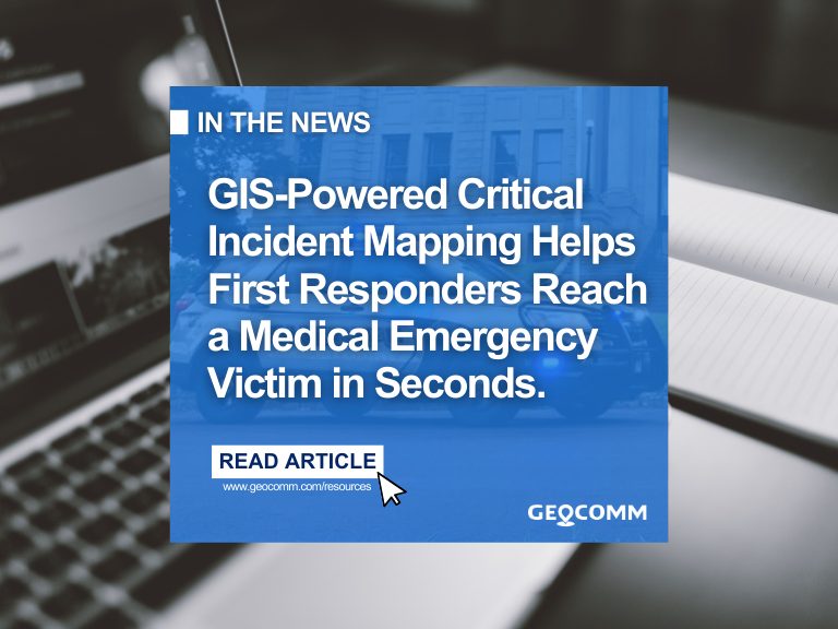
Learn more about GeoComm School Safety critical incident mapping solution