Home > Public Safety > Webinar Recap: Embarking on your NG9-1-1 GIS Migration
FacebookLinkedInXPinterestEmail
Dark Mode

Webinar Recap: Embarking on your NG9-1-1 GIS Migration

On Friday, March 5, 2021, GeoComm hosted a webinar titled, “Embarking on your NG9-1-1 GIS Migration.”   

GeoComm’s Jessica Frye, ENP, GIS Project manager and Kathy Liljequist, GIS Consultant offered attendees the opportunity to learn more about critical GIS data maintenance workflow decisions that 9-1-1 and GIS departments face as they embark on the NG9-1-1 GIS migration.  Utilizing their local, regional, and state NG-1-1 GIS project experience and involvement in industry standards development, they sat down to discuss: 

  • Various factors that impact 9-1-1 and GIS teams during the NG9-1-1 transition – one example -how street names are handled  
  • Important changes that GIS data undergoes as entities work to meet GIS data requirements for the development of a GIS-based MSAG 
  • Important stages agencies can expect while preparing GIS data for NG9-1-1 such as GIS data assessment and improvement efforts 

“While the technology to implement these new IP-based 9-1-1 systems is available now, the transition to NG9-1-1 will involve much more than just new computer hardware and software.”

Interested in learning more about NG9-1-1 GIS impacts and migration decisions?  Contact us today to request a recording of the webinar and learn more about some recommendations to get started.  

March 17, 2021

GIS Resources

Carbon County 9-1-1 Indoor Maps Project

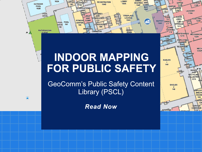
The Carbon County Pennsylvania Communications Center recently partnered with GeoComm to create GIS-based indoor maps for buildings throughout their county. These indoor maps would be valuable and vital pieces of information for their dispatchers and first responders to aid in improving situational awareness and decreasing response times. Carbon County Communications Center dispatchers access their indoor maps in RapidSOS Portal, provided by GeoComm partner RapidSOS.

Life-Saving Z-Axis Data in the Emergency Communication Center

When a 9-1-1 call is placed, the caller’s location is a primary piece of information that dispatchers need to deploy emergency response personnel. Where is the caller located? What do their surroundings look like? Could something about that location be an obstacle or even hazardous to first responders?

Z-Axis Location Information – The Next Frontier of Public Safety Location Intelligence®

What is z-axis and how does it improve in public safety emergency response? Many Emergency Communications Centers (ECCs) have started to notice that raw z-axis information is now available to them, but what should be done with that information and how can it be made actionable?