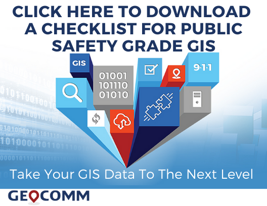
GeoComm Develops Public Safety Grade GIS Checklist Based on Industry and NENA Documentation
Consistent and accurate GIS data is at the core of the NG9-1-1 call routing process which will require agencies to achieve public safety grade GIS data in the near future. GeoComm is pleased to share a checklist developed for helping public safety and GIS professionals prepare themselves and take their GIS data to the next level needed in an NG9-1-1 system.
This checklist covers key items to consider when working to achieve public safety grade GIS data critical for NG9-1-1. These items include:
- Determining regional or state NG9-1-1 status for your agency
- Achieving 98% or greater synchronization level between the MSAG, ALI database, and GIS data
- Development and documentation of your maintenance workflow approach
- Utilization of GIS data management solutions that allow for Public Safety Grade GIS
“We are excited to provide this checklist as we know that achieving the necessary data quality levels is a common challenge for meeting NG9-1-1 requirements,” stated Kathy Liljequist, GeoComm GIS consultant. “Using our years of experience, we believe this checklist will assist in addressing data quality, operational, and personnel challenges.”
We invite you to CLICK HERE and download this checklist and use it as your guide for taking your GIS data to the next level.
About GeoComm
GeoComm was founded in 1995 to provide county governments with turnkey emergency 9-1-1 development services. Over the subsequent 24 years, the company has grown to serve local, regional, statewide, and military agencies in forty-nine states, helping to keep more than 100 million people safe. Today, GeoComm has a national reputation as a leading provider of public safety GIS systems that route emergency calls to the appropriate call center, map the caller’s location on call taker or dispatcher maps, and guide emergency responders to the scene of the accident on mobile displays within police, fire and ambulance vehicles. Our NG9-1-1 GIS solutions provide GIS data quality control, transformation, and aggregation services as well NG9-1-1 system emergency call routing. To learn more about GeoComm, please visit www.geocomm.com