Public Safety Grade GIS Data is Critical for Public Safety Emergency Response Systems
In the public safety industry, GIS is defined as a system designed to capture, store, display, analyze, and manage data for the purposes of public safety and 9-1-1 emergency response. Therefore, any GIS solutions utilized for the purposes of emergency response should be expected to be accurate, secure, reliable, resilient, redundant, and diverse to remain operational in any emergency.
GIS often serves many needs across a state and local government enterprise, many of which are not mission critical or life safety-related such as planning and zoning, tax and cadastral mapping, and natural resources mapping and monitoring. As a result, local GIS systems have emerged to meet the requirements of those non-Public Safety Grade applications. Those systems are then often utilized to provide data to public safety applications without first being analyzed and if necessary, strengthened to meet Public Safety Grade requirements. The outcome is often a proliferation of copied file-based GIS data, such as shapefiles and geodatabases, unprotected and unsecure, that are widely dispersed across an organization. In the worst-case scenarios, 9-1-1 call takers, dispatchers, and responders are all looking at different map versions, out-of-date maps, or no maps at all when they need them. Public Safety Grade GIS data works to solve these problems and provides the geospatial truth that all 9-1-1 and public safety users across an enterprise can rely on when life is on the line.
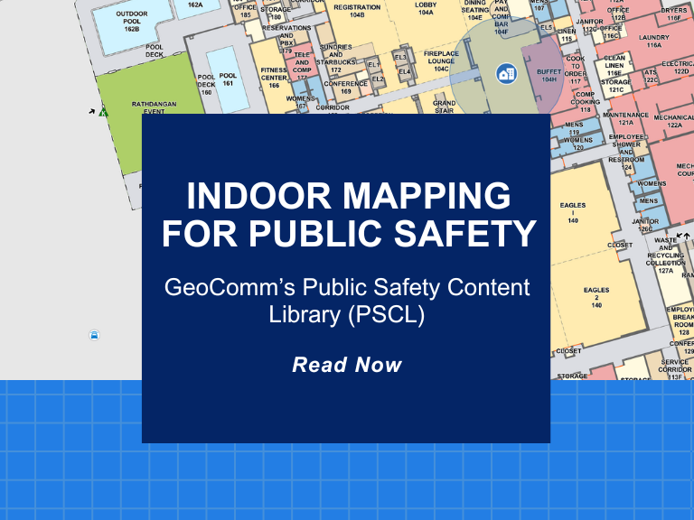
With GIS data playing a key role across E9-1-1, Next Generation 9-1-1 (NG9-1-1), Emergency Communication Center (ECC) and responder tactical mapping systems and applications, and now indoor and vertical 9-1-1 caller location, it has become an imperative for 9-1-1 to implement Public Safety Grade GIS data. These mission critical life safety systems and applications rely on GIS data to drive emergency response – helping to save lives and protect property. This GIS data must be highly accurate, highly secure, highly available, up-to-date, and commonly accessible to all mission critical life safety applications across 9-1-1 and public safety organizations.
While the 9-1-1 industry is aware of the mission critical role of GIS in NG9-1-1, new pressures, requirements, and urgency for achieving standardized Public Safety Grade GIS data are emerging as our world increasingly becomes data driven. Today, 9-1-1 and public safety entities are facing more and more challenges related to the explosion of multiple geospatial datasets copied to many applications, users, and locations across the 9-1-1 and public safety enterprise.
Public Safety Grade GIS Data Transforms Emergency Communications and Response
Public Safety Grade GIS solutions supply quality, highly secure, highly available, and accessible data to the end user and can have tremendous impact on improving response times, providing actionable location intelligence, and routing 9-1-1 calls.
There are also major benefits for the ECC and responders. Supplying GIS data to E9-1-1, NG9-1-1, ECC, and responder tactical mapping systems and applications that has been scrutinized for quality and useable during every 9-1-1 emergency response.
Proven Solutions for Achieving Public Safety Grade GIS Data
GeoComm is committed to knowing and understanding the problems our customers face and have Public Safety Location Intelligence® Platform includes an integrated suite of public safety GIS data management tools which empowers your agency to achieve public safety grade GIS. This cloud-native platform is backed by the largest team of focused GIS specialists in the nation and enables your GIS organization to collaborate, edit, QC, merge, analyze, and automate packaging and provisioning of GIS data for public safety systems across your entire state or region for utilization in NG9-1-1, Computer Aided Dispatch (CAD) and emergency notification systems. We have served the public safety industry for the last twenty-six years and our proven innovative, progressive solutions have been recognized by our customers in helping them provide effective, efficient, and accurate emergency response.


