Drive Smarter Insights and Unified Collaboration

With modernized geographic data and interactive maps.
  • Leverage the Best in GIS

  • Unify Agency Collaboration

  • Enhance Data Accuracy

Trusted by Industry Leaders

ATT-logo
Rapidsos logo
aws-logo
zeroeyes-logo
stratasite-logo
rapiddeploy
crisisgo-logo
centegix-logo
intrado-logo
Saferwatch Logo
denco 911 county logo
Copy of Logo template 1 (6)
911-call-emergency
brown-county-sherriff
Laville
El Paso County 911 logo
Copy of Logo template 1
san felipe del rio school logo
concho valley logo
North fond du lac school logo
911-call-emergency

Comprehensive GIS Solutions

Designed to enhance operational efficiency and response capabilities.

Simplify complex GIS data processes and ensure seamless accessibility.

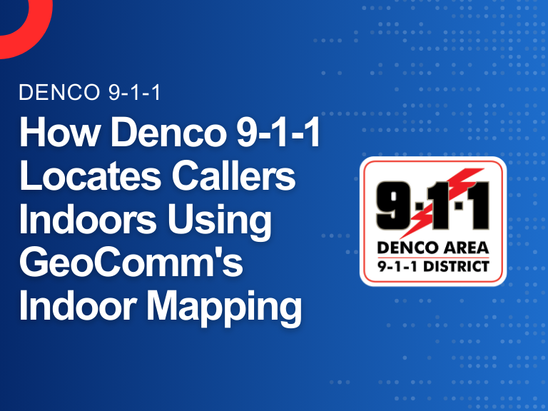
Convert your indoor environments into interactive GIS based maps.

Create highly detailed and responsive visual representations of your campus.

logistics operator
busy shopping mall
Teacher teaching students in the classroom

Public Safety, Education, and Beyond

Safeguarding communities by enhancing response efficiency and collaboration when it matters most.
Aerial panorama view of a small town city home roofs at suburban residential quarters an New Jersey US

Public Safety

Elevate your GIS data to public safety standards.

Students raising hands while teacher asking them questions in classroom

K-12 Education

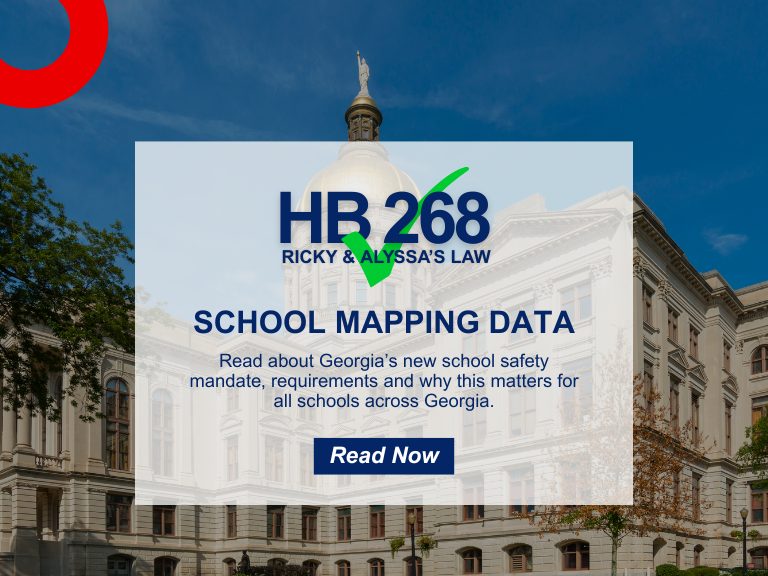
Enhance school safety, improve emergency response, and streamline operational efficiency.

Interior Of Busy University Campus Building With Students

Commercial

Convert any indoor environment into interactive GIS visualizations to optimize operations, decision-making and overall business growth.

wrapper-deco-right-raw
wrapper-deco-left-raw

Pioneers in GIS Technology

100 M
People
Safeguarded

30
Years of Experience

50
States Covered

Chief-Faz-testimonial-image

“The flexibility to make on-the-spot map changes and have them immediately accessible to everyone involved is truly a game changer.”

Chief Faz
Chief Faz
San Felipe Del Rio – Chief of Police

Find out what GeoComm can do

Discover the impact of GeoComm’s solutions on your community.

GIS Resources

HB 268 School Mapping Data: What Georgia’s New Safety Law Means for Schools

Introduction  The need for precise, up-to-date school mapping data has never been greater. Georgia’s new safety mandate, Ricky and Alyssa’s Law, now requires all public schools to maintain digital maps and panic alert systems to improve emergency response.  But this law is just one step in a growing national movement. School mapping data is becoming…

Avoiding 9-1-1 Call Failures: How PSAP Boundaries and NG9-1-1 Support Emergency Preparedness

As Next-Generation 9-1-1 (NG9-1-1) continues to evolve, accurate Public Safety Answering Point (PSAP) 911 service area boundaries are more crucial than ever for emergency services. This accuracy is also a foundational component of broader emergency preparedness strategies aimed at improving public safety outcomes. Why is this so important for emergency preparedness?   NG9-1-1 Emergency Call Routing Functions…

How Denco 9-1-1 Locates Callers Indoors Using GeoComm’s Indoor Mapping

Indoor Mapping for Emergency Response & Public Safety Overview: Denco 9-1-1 Enhances School Safety with Indoor Mapping Denco Area 9-1-1 District (Denco 9-1-1) partnered with GeoComm in late 2019 to tackle the critical challenge of locating 9-1-1 callers indoors. The Indoor Map Development Project aimed to enhance Emergency Communications Center (ECC) mapping capabilities by leveraging…