Dispatch Map

Technical Customer Support Specialist is Talking on a Headset while Working on a Computer in a Call Center Control Room Filled Display Screens with Monitoring Software. Over the Shoulder Footage

Find Critical Location Data in Seconds

Efficiently search and navigate to identify vital location information.

Travel Destinations on a Map

Instantly Pinpoint Caller Location Indoors

Enhance response reliability by leveraging accurate mobile caller location data through RapidSOS.

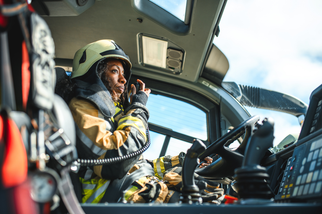
Female Firefighter Using A CB Station In A Firetruck

Expands Situational Awareness

Improves emergency response by aiding decision-making with additional data sources like ArcGIS and Google Street View.

GeoComm Maps

  • Robust security and reliability Powered by Esri and AWS GovCloud for secure and reliable infrastructure.
  • Seamless integrations Integrate our end-to-end GIS solution with any vendors 9-1-1 call handling, CAD, and AVL systems.
  • Cost-effective maintenance Reduce local installations and access GIS data and configurations anywhere regardless of size and number of users.
GeoComm Maps Interface

Power your Emergency Response with Precision Mapping

Powered by Esri, deliver faster, more accurate responses with intuitive and cost-effective GIS solutions tailored to your emergency response operations.

GIS Resources

Southwest Minnesota: Digital Geographic Information System Mapping & 9-1-1 Emergency Response

Overview In 2023, the Southwest Minnesota Emergency Communications Board (SWECB) partnered with GeoComm to launch an indoor mapping pilot project. This digital geographic information system mapping initiative transformed critical infrastructure buildings into GIS-powered indoor maps, providing first responders with precise, real-time location intelligence and the school mapping data needed to ensure effective emergency response. The…

FCC NG9-1-1 Order: Progress, Challenges & What’s Next for Public Safety GIS 

Where Are We Now in the NG9-1-1 Transition?  On March 25, 2025, the Federal Communications Commission (FCC) issued a Public Notice announcing final approval by the U.S. Office of Management and Budget (OMB) of the FCC’s July 2024 Report and Order advancing the transition to Next Generation 9-1-1 (NG9-1-1). While this is a definite step…

NSGIC 3DEP FTN Interest Group Meeting

March 25, 2025 GeoComm Vertical Location Services: Enhancing Emergency Response with 3D Elevation Data When every second counts, knowing where an emergency caller is located—including their vertical position—is critical for first responders. GeoComm’s Vertical Location Services leverage digital elevation models to provide precise altitude data, helping emergency teams determine the correct floor, underground level, or…