
Endless Personalization
Add and remove points of interest, create shared markups with photos, apply color-codes to rooms based on public safety standards.

Add and remove points of interest, create shared markups with photos, apply color-codes to rooms based on public safety standards.
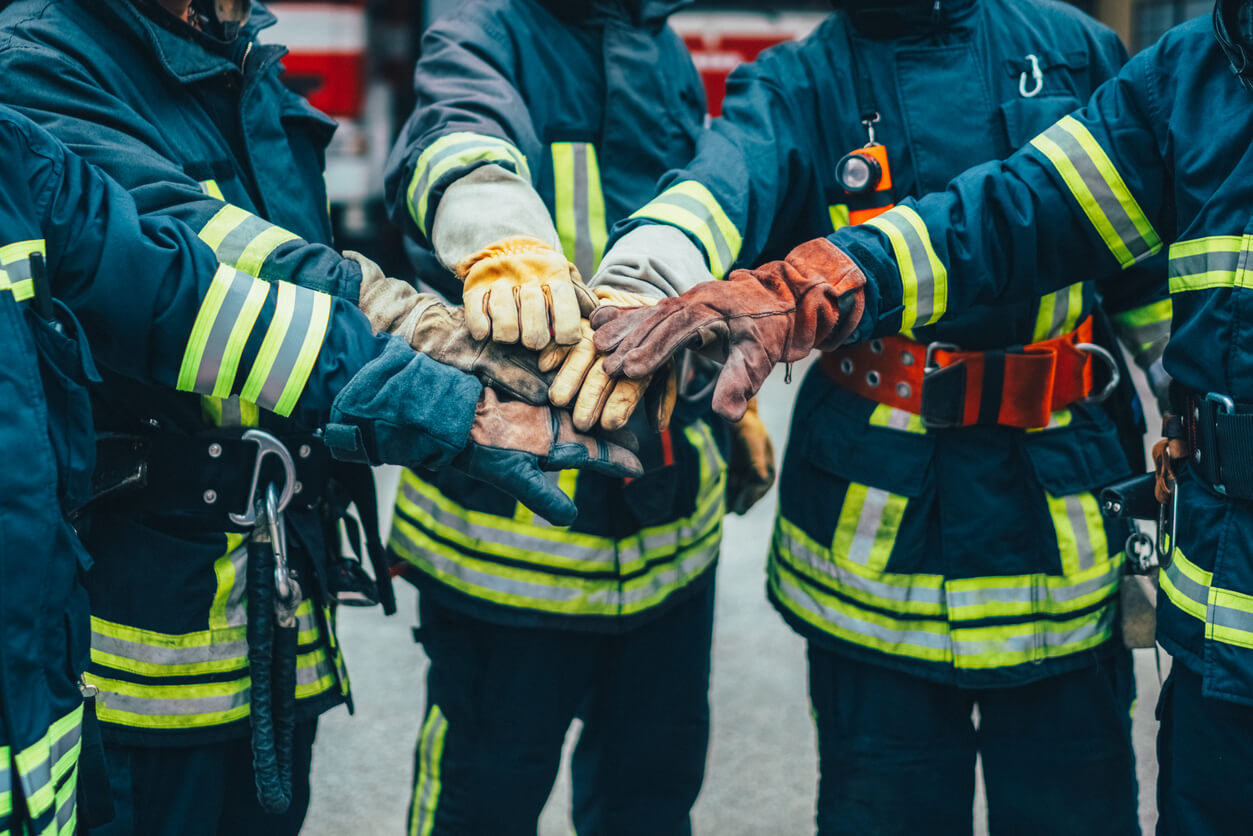
See the exact 9-1-1 caller location in real-time and enable immediate visibility for first responders and school safety personnel whenever a call is made.

Create scenario-based maps tailored to your school’s needs. From sporting events to emergency response and drill planning, use precise geographic data to build the right map for every situation.


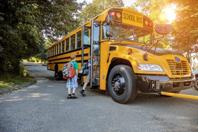
Statewide Iowa Project: Over 1,400 K-12 schools mapped including 100,000 indoor data points enabling pre-planning, incident response and mitigation for various emergency and non-emergency situations.
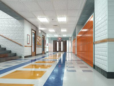
San Felipe Del Rio CISD: Switching to school safety maps streamlined map updates and distribution, eliminating hours of manual effort to ensure accurate, up-to-date maps are readily accessible to responding agencies.

Denco 9-1-1 District: Providing enhanced caller location and surrounding context data within schools while safeguarding a population over 800,000 residents in 33 jurisdictions throughout North Texas.
Whether you need 9-1-1 integration, campus visualization, or seamless collaboration, GeoComm offers it all. Discover the nation’s leading critical incident mapping for school safety to create safer communities, and smarter operations.