
Editing
Save Time & Reduce Errors
Edit and apply changes instantly. No more toggling between multiple sources, saving files, or republishing content.
FEEDBACK
Move Conversations Forward
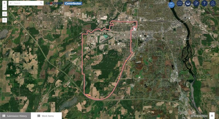
Enable everyone to enhance map accuracy – users at any skill level can share real-time insights and recommendations, ensuring your data stays accurate and up-to-date.
change requests
Every Change Starts with a Request
Evolve projects, propose a change, and discuss revisions with change requests – a base for your team to review and improve your data.
Unite your Teams in a Single Environment
Learn how Contributor enables your team to manage their workload with ease.
Real-World Results
Marisa Quintanilla – Regional Services Director, Rio Grande Council of Governments
“GeoComm Contributor ensures that reliable location and address details are shared easily with elected officials, residents, and appraisers, offering a great visual to stakeholders and making communication extra efficient.”
Designed to Scale
- Easily navigate GIS data at all levels Communicate and update critical data points effortlessly without the need for specialized GIS skills.
- Collaborate securely with your team Foster team collaboration with controlled access, customizable roles, and real-time updates for ensured data integrity.
GIS Resources

NSGIC 3DEP FTN Interest Group Meeting
March 25, 2025 GeoComm Vertical Location Services: Enhancing Emergency Response with 3D Elevation Data When every second counts, knowing where an emergency caller is located—including their vertical position—is critical for first responders. GeoComm’s Vertical Location Services leverage digital elevation models to provide precise altitude data, helping emergency teams determine the correct floor, underground level, or…
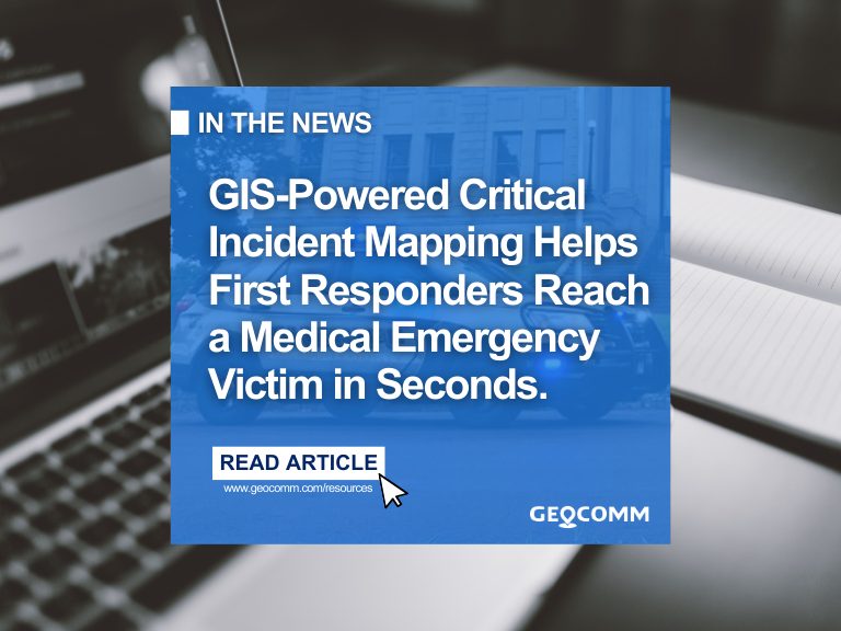
GIS-powered Critical Incident Mapping Helps Minnesota First Responders Reach a Medical Emergency Victim in Seconds
JACKSON COUNTY, Minn., March 24, 2025 /PRNewswire/ — A life-threatening medical emergency at a Jackson County high school on October 3rd, 2024 put First Responders to the test when a student suffered a medical complication in the cafeteria. Thanks to the swift response of the Jackson County Sheriff’s Department and GeoComm’s GIS-powered critical incident mapping technology, emergency personnel pinpointed the exact location within…
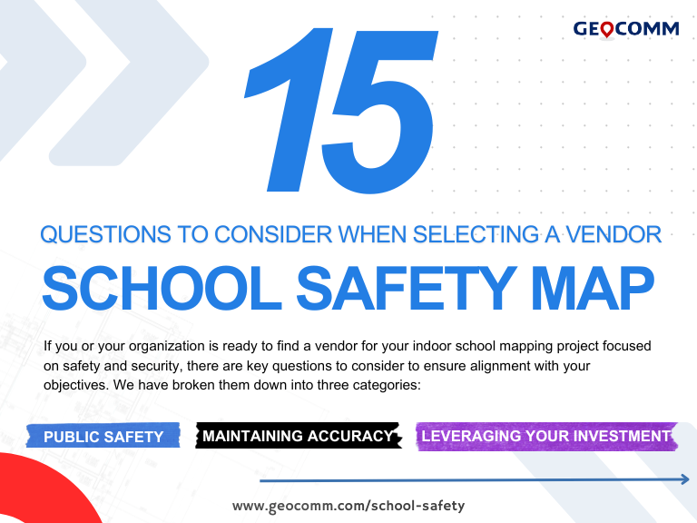
15 Must-Ask Questions to Choose the Best Critical Incident Mapping Solution for Schools
How to choose the best critical incident mapping solution When it comes to protecting students and staff, selecting the right school safety map is a decision that cannot be taken lightly. Schools must ensure that their critical incident mapping solution is more than just a visual representation of their buildings—it must be a real-time, interactive…