


Eliminate Data Hosting Hassle with Web GIS Services
- Reliable and Easy to Use Ensure your GIS data is always available with uninterrupted access and 24/7 expert support, so you’re covered when it matters most.
- Reduce Operational Costs and Internal Resources Maximize your GIS data with secure, cost-effective hosting for real-time access, and resource efficiency.
Protected and Reliable
Streamline GIS hosting with seamless onboarding, a simple one-step data update process, and 24/7/365 support in a secure environment.
GIS Resources

NSGIC 3DEP FTN Interest Group Meeting
March 25, 2025 GeoComm Vertical Location Services: Enhancing Emergency Response with 3D Elevation Data When every second counts, knowing where an emergency caller is located—including their vertical position—is critical for first responders. GeoComm’s Vertical Location Services leverage digital elevation models to provide precise altitude data, helping emergency teams determine the correct floor, underground level, or…
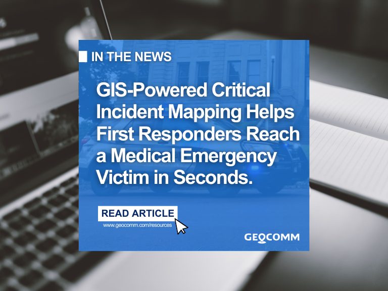
GIS-powered Critical Incident Mapping Helps Minnesota First Responders Reach a Medical Emergency Victim in Seconds
JACKSON COUNTY, Minn., March 24, 2025 /PRNewswire/ — A life-threatening medical emergency at a Jackson County high school on October 3rd, 2024 put First Responders to the test when a student suffered a medical complication in the cafeteria. Thanks to the swift response of the Jackson County Sheriff’s Department and GeoComm’s GIS-powered critical incident mapping technology, emergency personnel pinpointed the exact location within…

15 Must-Ask Questions to Choose the Best Critical Incident Mapping Solution for Schools
How to choose the best critical incident mapping solution When it comes to protecting students and staff, selecting the right school safety map is a decision that cannot be taken lightly. Schools must ensure that their critical incident mapping solution is more than just a visual representation of their buildings—it must be a real-time, interactive…