
Leading the Charge in Safeguarding Communities
When seconds matter, GeoComm is dedicated to saving lives and protecting property through precise location data. Since our founding in 1995, we’ve grown to serve communities nationwide, ensuring the safety of over 100 million people. Our innovative solutions like GIS Data Management and Indoor Maps set industry standards across public safety, school safety, and beyond.


Jeff Liebl President & CEO
Values that Motivate Us
- Continuous Improvement & Innovation
- Empowered Accountability
- Customer Commitment
- Prioritized Urgency
- One Team


Trusted by Industry Leaders


Driven by Vision.
Guided by Experience.
Meet our leadership team, boasting over 150 years of combined experience in public safety and GIS innovation.

Jody Sayre
Jody
Sayre
VP Bus. Dev. & Strat. Alliances

Jeff Liebl
Jeff
Liebl
President & CEO

John Brosowsky
John
Brosowsky
SVP Innovation

Ryan Thomas
Ryan
Thomas
VP Engineering & Technology

Rob Ruprecht
Rob
Ruprecht
Director of People

Lisa Henderson
Lisa
Henderson
VP Public Safety, GIS Services

Daniel Stonecipher
Daniel
Stonecipher
Chief Product, Technology Officer

Brian Jacobson
Brian
Jacobson
Chief Financial Officer

Bill McCullough
Bill
McCullough
VP Sales & Marketing

Andy Newman
Andy
Newman
SVP Operations

Amanda Romaine
Amanda
Romaine
Chief of Staff, VP of Admin
Cutting-Edge GIS Technologies with Our Partner Network
- Integrated Data Collaborate with top GIS and mapping data providers to ensure comprehensive coverage and accuracy.
- Advanced Applications Leverage the latest in public safety technology through our partnerships with leading solution providers.

See what GeoComm can do
Discover the impact of GeoComm’s solutions on your community.
Help us Write the Next Chapter.
Explore career opportunities at GeoComm and become part of a team dedicated to pushing boundaries, innovating and making a positive impact across communities.
- Remote Work
- Work-Life Balance
- Employee Wellbeing
- Financial Stability

GIS Resources
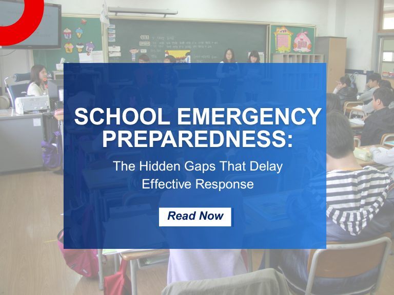
School Emergency Preparedness: Hidden Gaps That Delay Effective Response
When we think of school emergency preparedness, the focus is often on the visible: drills, locked doors, communication protocols, and security personnel. But behind these measures are hidden gaps—vulnerabilities that only surface during a critical incident exposes them. These oversights can mean the difference between a coordinated response and a chaotic scramble. Why School Emergency…
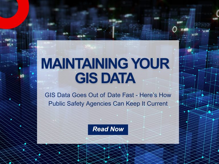
Why GIS Data Goes Out of Date Fast – And How Public Safety Agencies Can Keep It Current
Why GIS Data Becomes Outdated — Especially in Public Safety How quickly does Public Safety GIS data go out of date? The answer is… almost immediately! Let’s look at why this is the case, what the impacts to public safety are, and why effective GIS data management practices can ensure that your public safety GIS…

Indoor Maps vs. Floor Plans: 5 Reasons They’re Critical for Public Safety
Merriam-Webster’s Dictionary defines a floor plan as “a scale diagram of a room or suite of rooms viewed from above” and a map as “ a flat surface of the whole or a part of an area.” But in the world of emergency response and public safety, what separates a traditional floor plan from a…