
Editing
Save Time & Reduce Errors
Edit and apply changes instantly. No more toggling between multiple sources, saving files, or republishing content.
FEEDBACK
Move Conversations Forward
Enable everyone to enhance map accuracy – users at any skill level can share real-time insights and recommendations, ensuring your data stays accurate and up-to-date.
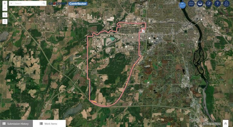
change requests
Every Change Starts with a Request
Evolve projects, propose a change, and discuss revisions with change requests – a base for your team to review and improve your data.
Unite your Teams in a Single Environment
Learn how Contributor enables your team to manage their workload with ease.
Real-World Results
Marisa Quintanilla – Regional Services Director, Rio Grande Council of Governments
“GeoComm Contributor ensures that reliable location and address details are shared easily with elected officials, residents, and appraisers, offering a great visual to stakeholders and making communication extra efficient.”
Designed to Scale
- Easily navigate GIS data at all levels Communicate and update critical data points effortlessly without the need for specialized GIS skills.
- Collaborate securely with your team Foster team collaboration with controlled access, customizable roles, and real-time updates for ensured data integrity.
GIS Resources

HB 268 School Mapping Data: What Georgia’s New Safety Law Means for Schools
Introduction The need for precise, up-to-date school mapping data has never been greater. Georgia’s new safety mandate, Ricky and Alyssa’s Law, now requires all public schools to maintain digital maps and panic alert systems to improve emergency response. But this law is just one step in a growing national movement. School mapping data is becoming…
Avoiding 9-1-1 Call Failures: How PSAP Boundaries and NG9-1-1 Support Emergency Preparedness
As Next-Generation 9-1-1 (NG9-1-1) continues to evolve, accurate Public Safety Answering Point (PSAP) 911 service area boundaries are more crucial than ever for emergency services. This accuracy is also a foundational component of broader emergency preparedness strategies aimed at improving public safety outcomes. Why is this so important for emergency preparedness? NG9-1-1 Emergency Call Routing Functions…
How Denco 9-1-1 Locates Callers Indoors Using GeoComm’s Indoor Mapping
Indoor Mapping for Emergency Response & Public Safety Overview: Denco 9-1-1 Enhances School Safety with Indoor Mapping Denco Area 9-1-1 District (Denco 9-1-1) partnered with GeoComm in late 2019 to tackle the critical challenge of locating 9-1-1 callers indoors. The Indoor Map Development Project aimed to enhance Emergency Communications Center (ECC) mapping capabilities by leveraging…