Trusted by K-12 schools nationwide

Bixby
Pickens
Iowa
Denco 9-1-1
Concho Valley
LaVille
North Fond du Lac
San Felipe Del Rio

Not All School Maps are Created Equal

  • Efficient Collaboration and Planning Enable seamless collaboration between schools, law enforcement, and responders with easy API integration.
  • Enhanced Emergency Response with GIS Data Bring critical incident mapping for school maps to life with GIS data for precise location data, enabling faster, more informed decisions.
  • Scalable, Interactive and Customizable to Your Needs Configure maps for clarity at any scale with tailored points of interest.

1,400+ Schools Mapped in Iowa

Iowa now uses interactive critical incident mapping for school to help improve emergency response times, visualize emergency incident locations and more.

Your Map. Instant Updates. Zero Waiting.

Group Of Teenage Students Collaborating On Project In Classroom

Endless Personalization

Add and remove points of interest, create shared markups with photos, apply color-codes to rooms based on public safety standards.


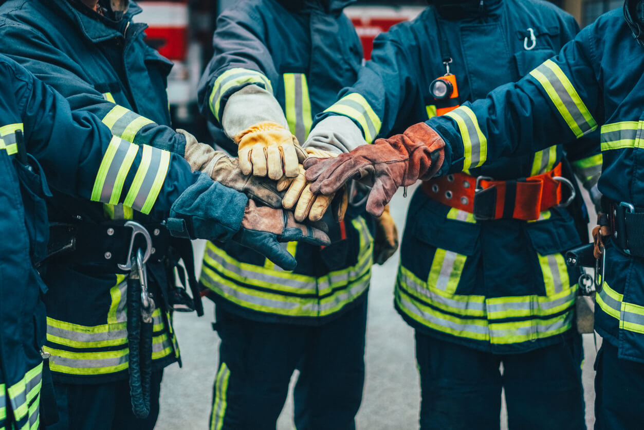
Firefighters with hands stacked

Integrate with 9-1-1 Centers

See the exact 9-1-1 caller location in real-time and enable immediate visibility for first responders and school safety personnel whenever a call is made.

Group of female high school basketball players encouraging one another

Create Multiple Maps

Create scenario-based maps tailored to your school’s needs. From sporting events to emergency response and drill planning, use precise geographic data to build the right map for every situation.
wrapper-deco-left-raw
wrapper-deco-right-raw

Benefits of GeoComm Critical Incident Mapping Solutions

Our solutions leverage GIS data to create hyper-detailed, interactive indoor and outdoor school maps.
A young boy getting onto a school bus in sunshine
1400 +

Iowa schools

Statewide Iowa Project: Over 1,400 K-12 schools mapped including 100,000 indoor data points enabling pre-planning, incident response and mitigation for various emergency and non-emergency situations.

School corridor with lockers. 3d illustration
740 M+

Sq. Ft. Mapped

Over 740 million square feet of facilities nationwide are now mapped with GeoComm technology, delivering accurate, accessible location data that supports faster, more effective emergency response.

Library
100 %

Pinpoint accuracy

Denco 9-1-1 District: Providing enhanced caller location and surrounding context data within schools while safeguarding a population over 800,000 residents in 33 jurisdictions throughout North Texas.

Find out what GeoComm can do

Whether you need 9-1-1 integration, campus visualization, or seamless collaboration, GeoComm offers it all. Discover the nation’s leading critical incident mapping for school safety to create safer communities, and smarter operations.
Resources

GeoComm and StrataSite Partner to Help Schools Strengthen Preparedness and Improve Coordinated Response

Partnership connects trusted indoor mapping with coordinated response planning, training, and readiness tools to help schools and emergency responders align faster, reduce confusion, and act with greater confidence. ST. CLOUD, Minn., May 19, 2026 /PRNewswire/ — GeoComm, the provider of public-safety-grade location intelligence that underpins critical incident response, and StrataSite, a collaborative incident action planning solution, today…

How New Mexico Strengthened Emergency Response with Public Safety Grade GIS Data

Ensuring Accurate Location Data Across 100+ Local Governments. Overview In New Mexico, a largely rural state with vast geographic areas and limited emergency resources, even small GIS data errors can have life-threatening consequences. With more than 100 local government agencies contributing GIS data and over 40 Public Safety Answering Points (PSAPs) relying on that data…

GeoComm Indoor Mapping Integration with Zetron Help Strengthen Iowa Public Safety Response

Integration brings indoor building context into Zetron workflows to help public safety teams respond faster, coordinate more effectively, and improve situational awareness during indoor emergencies across Iowa. St. Cloud, Minn. – April 28, 2026 – GeoComm today announced an integration that brings GeoComm indoor mapping content into Zetron’s Map Viewer, helping support public safety agencies…