


Work Smarter, Collaborate Better, and Save Time
A suite of solutions and services focused on reducing complexity, improving efficiency, and ensuring the highest standards in GIS data.
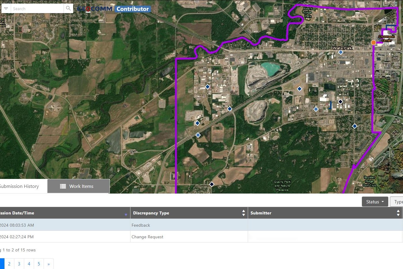
Reduce the complexity of GIS data management with seamless accuracy, quality control checks, and more.
Easily navigate your GIS data, whether you’re a beginner or expert.
From hosting to seamless updates, we fully manage and integrate your GIS data.
From one-time services to ongoing maintenance, we bring your GIS data to the forefront.


“Thanks to GeoComm, we’ve transformed our GIS data to meet NG911 standards, achieving over 99% accuracy statewide.”
99%+
Data Accuracy
Essential Data – Extraordinary Results
Identify and correct errors quickly, keeping your emergency response operations running smoothly.
- Enhanced Data Accuracy
- Simplified Data Management
- Reduced Time and Effort

Data You Won’t Find Anywhere Else
Discover the impact of GeoComm’s GIS Data Management solutions on your community.
Resources

GeoComm Joins Make Our Schools Safe as 2026 Annual Partner to Help Strengthen School Emergency Response
News provided by GeoComm, Inc Jun 03, 2026, 10:31 ET Partnership connects school safety advocacy with public-safety-grade indoor mapping to help schools and first responders access critical information when every second matters. ST. CLOUD, Minn. and PARKLAND, Fla., June 3, 2026 /PRNewswire/ — GeoComm, a trusted provider of Public Safety Grade indoor mapping and location intelligence solutions,…

GeoComm Announces Partnership with The Geospatial Group to Strengthen Public Safety GIS and Location Intelligence Support
News provided by GeoComm, Inc May 28, 2026, 14:30 ET Partnership brings together GeoComm’s Public-Safety-Grade location intelligence with The Geospatial Group’s GIS consulting, integration, and custom mapping expertise ST. CLOUD, Minn., May 28, 2026 /PRNewswire/ — GeoComm, the nation’s leader in Public-Safety-Grade location intelligence, today announced a new partnership with The Geospatial Group, a Mississippi-based GIS and IT…

GeoComm and StrataSite Partner to Help Schools Strengthen Preparedness and Improve Coordinated Response
Partnership connects trusted indoor mapping with coordinated response planning, training, and readiness tools to help schools and emergency responders align faster, reduce confusion, and act with greater confidence. ST. CLOUD, Minn., May 19, 2026 /PRNewswire/ — GeoComm, the provider of public-safety-grade location intelligence that underpins critical incident response, and StrataSite, a collaborative incident action planning solution, today…