




Visualize Indoors Differently
Turn floor plans into interactive maps for smarter, faster decisions in any situation.
“GeoComm provides a service that will continually make your schools safer when it comes to First Responders coming to your facilities to better protect your students and staff.”

“Our prior mapping process was tiring and manual, but GeoComm has made updating and distributing maps easy to use and visualize.”

Resources
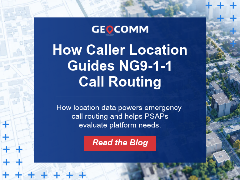
How Caller Location Guides NG9-1-1 Call Routing
When someone calls 9-1-1, getting the call to the right Emergency Communications Center (ECC) or Public Safety Answering Point (PSAP) is one of the first critical steps in the emergency response process. In a Next Generation 9-1-1 (NG9-1-1) environment, that decision increasingly depends on one essential piece of information: the caller’s location. Unlike legacy 9-1-1…
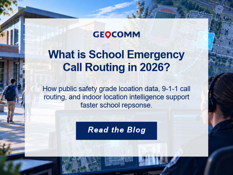
What Is School Emergency Call Routing in 2026?
When a 9-1-1 call is made from a school, knowing the campus address is only part of the challenge. Dispatchers and first responders also need to understand where on the campus help is needed. School emergency call routing combines 9-1-1 location information, GIS data, and emergency communications technology to help connect an emergency call with…
Why School Safety is Built Before a Crisis
By Rose Bentley, Chief Operating Officer, GeoComm Last week, I stood inside an elementary school in Georgia and watched a community put months of preparation into practice. In that moment, our work felt very different than lines on a screen, GIS data, or a completed project. It became real. The school was Harmony Elementary. Earlier…
