


Visualize Indoors Differently
Turn floor plans into interactive maps for smarter, faster decisions in any situation.


“GeoComm provides a service that will continually make your schools safer when it comes to First Responders coming to your facilities to better protect your students and staff.”

GIS Resources
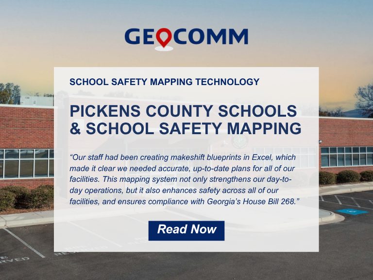
Pickens County School District Strengthens School Safety with GeoComm’s Interactive Indoor Mapping Solution
Pickens County, GA, April 2, 2026: Pickens County School District has taken a major step forward in enhancing school safety by implementing GeoComm’s School Safety mapping solution. Serving approximately 4,000 students across eight campuses, the school district partnered with GeoComm to map over 875,000 square feet of indoor space. The project was completed in just…

Where Insights Meet Action: Mapping at the Core of Public Safety Technology
At IWCE 2026, TJ Kennedy of GeoComm delivered a powerful keynote on why trusted, real-time location intelligence is essential to the future of public safety. As emergency response continues to evolve, accurate indoor and outdoor location data is becoming more important than ever. From strengthening situational awareness to improving responder coordination and supporting faster decision-making,…

How Iowa Built a Statewide School Safety Mapping Program
What does it take to protect every student, teacher, and staff member across an entire state? In Iowa, it started with a shared vision and the right partnerships to bring it to life. Through collaboration between state leaders, local school districts, GeoComm, and technology partner Esri, Iowa launched a first-of-its-kind statewide school safety mapping program….