Iowa schools
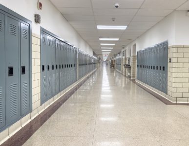
Statewide Iowa Project: Over 1,400 K-12 schools mapped including 100,000 indoor data points enabling pre-planning, response and mitigation for various emergency and non-emergency situations.


Statewide Iowa Project: Over 1,400 K-12 schools mapped including 100,000 indoor data points enabling pre-planning, response and mitigation for various emergency and non-emergency situations.

Over 250 million square feet of facilities nationwide are now mapped with GeoComm technology, delivering accurate, accessible location data that supports faster, more effective emergency response.

Denco 9-1-1 District: Providing enhanced caller location and surrounding context data within schools while safeguarding a population over 800,000 residents in 33 jurisdictions throughout North Texas.
Make changes in seconds and share them instantly with local law enforcement. From school safety to incident command, our public safety content library keeps everyone up to speed, seamlessly.
Enhance communication with seamless integration across our partner network. From emergency response tools to leading public safety solutions, we streamline data sharing for faster, more effective responses.
Add and update points of interest details seamlessly – AEDs, entrances, exits, room names and numbers, security cameras, evacuation routes and more.